
Integrated Survey and Engineering Solutions for a Sustainable Future
Supporting Agencies with Effective Solutions They Appreciate
Over 50 Years of Excellence and Innovation
Driving Innovation and Excellence Through Every Project
Equipping a Team of Experts with Advanced Skills and Knowledge


With over five decades of experience, EXSA Internasional has built long-term client relationships through clear communication and a deep understanding that our surveys form the foundation of your projects. Our innovative and experienced team is dedicated to helping you achieve your project goals with precision and integrity.
What People Say About UsSignificant Achievements and Impactful Contributions in the Industry
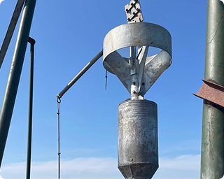
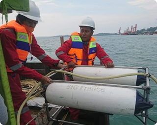
Piston Corer Sampling
Piston corer collects sediment samples from the ocean floor using a vacuum, aiding analysis of stratigraphy, composition, and history.
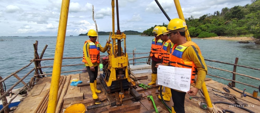
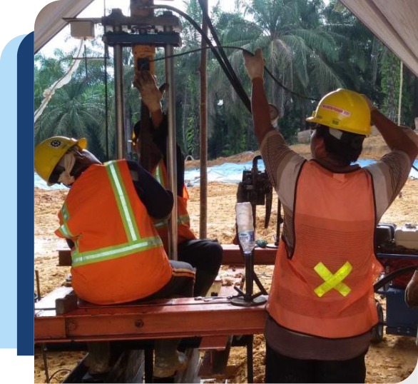
Geotechnical Drilling
Geotechnical drilling involves boring into the ground to collect soil samples, helping assess site conditions for construction or research.
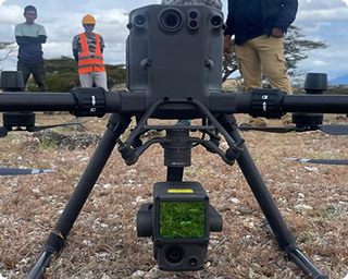
Topographic LiDAR Mapping
Topographic LiDAR mapping uses laser pulses to create detailed 3D maps of terrain, capturing elevation and surface features accurately.
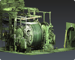
Terrestrial Laser Scanning
Terrestrial laser survey employs ground-based laser scanning to gather accurate 3D data of surfaces, aiding in mapping and modeling.
Sub Bottom Profiler
A sub-bottom profiler is a marine geophysical tool that uses sound waves to image underwater sediment layers and geological structures.
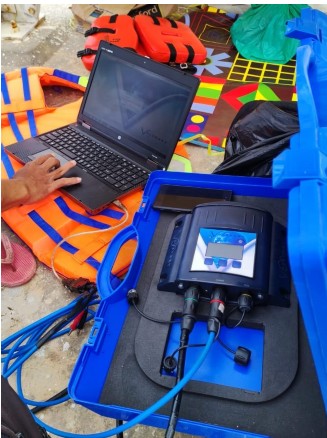
Tidal Survey
Tidal measurement tracks sea level changes for chart datum, aiding navigation, coastal management, and environmental monitoring for safer marine activities.

“Lorem ipsum dolor sit amet, consectetur adipiscing elit, sed do eiusmod tempor incididunt ut labore et dolore magna aliqua. Ut enim ad minim veniam, quis nostrud exercitation ullamco laboris nisi ut aliquip ex ea commodo consequat. Duis aute irure dolor in reprehenderit in voluptate velit esse cillum dolore eu fugiat nulla pariatur.”

CEO, Asian Development Bank
“Lorem ipsum dolor sit amet, consectetur adipiscing elit, sed do eiusmod tempor incididunt ut labore et dolore magna aliqua. Ut enim ad minim veniam, quis nostrud exercitation ullamco laboris nisi ut aliquip ex ea commodo consequat. Duis aute irure dolor in reprehenderit in voluptate velit esse cillum dolore eu fugiat nulla pariatur.”
CEO, Asian Development Bank
Fill out the form to connect with our experts and explore the best solutions for your project or business

